Getting There
The Road to Shafter
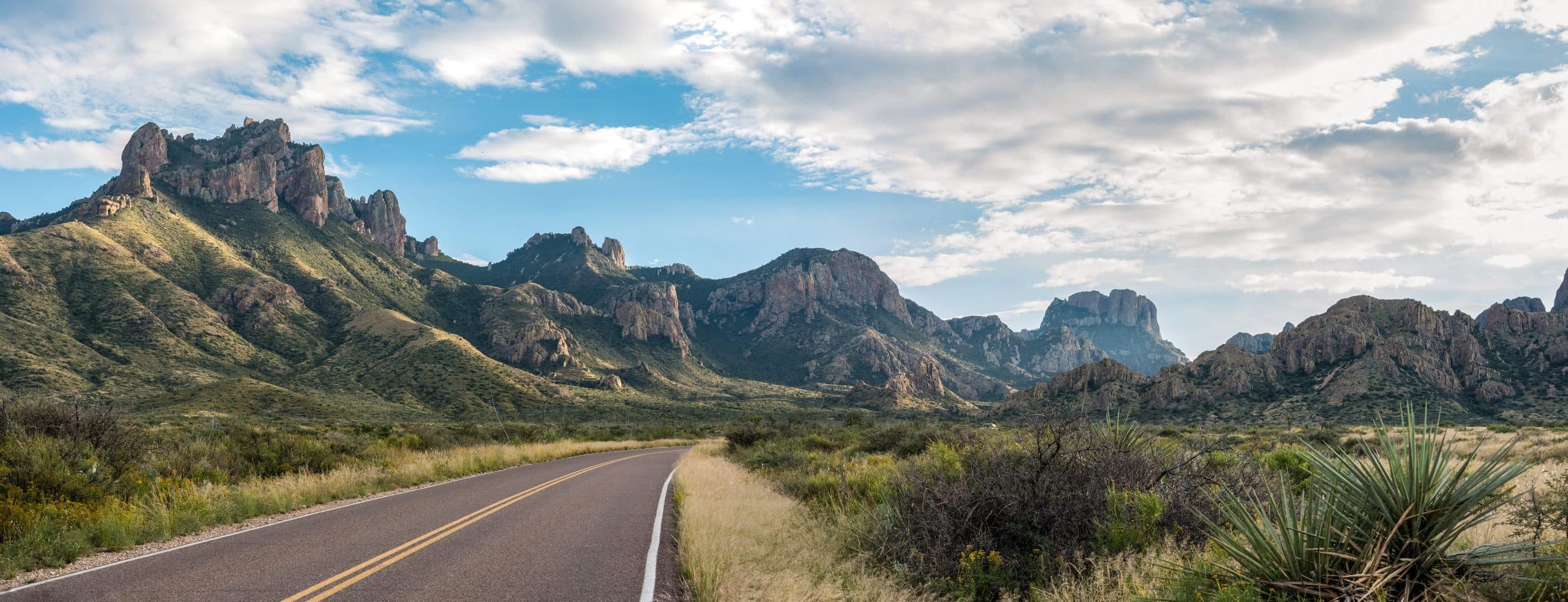
Shafter sits in the Chinati foothills of Presidio County, about an hour south of Marfa. Reaching town is straightforward, but the journey takes you deep into the wide-open landscape of far West Texas, where the roads stretch long and the scenery changes by the mile.
The Road In
Follow US-67 South
Shafter is accessible by a paved road, and a standard passenger vehicle is suitable for the drive into town. If you plan to venture farther into remote backcountry areas during your stay, a higher-clearance vehicle may be useful.
We recommend filling your tank and picking up any food, beverages, or other provisions you'll need before leaving Marfa or another larger nearby town. Services are limited once you're on the road, so planning ahead gives you more freedom to explore once you arrive.
Mobile coverage can be limited and varies by carrier. Download your route, directions, and offline maps before leaving reliable service.
Travel Tip: Give yourself plenty of time during the drive to enjoy the open road and landscapes of West Texas.
Drive Times
Getting Here from Nearby
- About 1 hourSouth on US-67 through the open country of Presidio County.
- About 30 minutesNorth on US-67 through the Chinati foothills.
- About 1 hour 30 minutesWest toward Marfa, then south on US-67 to Shafter.
- About 2 hoursWest through Study Butte and Terlingua, then north through Presidio County.
By Air
Nearest Airports
Midland International (MAF)
About 3 hours 30 minutes
Widest choice of flights
El Paso International (ELP)
About 3 hours 30 minutes
Good international connections
Alpine–Casparis (E38)
About 1 hour 30 minutes
General aviation
Marfa Municipal (MRF)
About 1 hour
General aviation, closest field